


In My Back Yard: The Christchurch 360 Trail
By Bob Frame
The 360, or ‘Meurky Walk’, showcases Christchurch’s varied and fascinating ecology. It was developed by Colin Meurk to circumnavigate the city and link up its many parks, reserves, wetlands, beaches, hills and urban landscapes.
Colin has guided many people on walks over the years and has devoted huge energy into making it happen. But could it be cycled? Of course, said Colin. Though it’s not officially designated as a cycle-way and parts are for foot traffic only, he convinced me to explore the paths less well travelled in our rapidly changing city. It would be easy to organise and I could learn more about Christchurch’s unique ecology; and an adventure in my back yard.
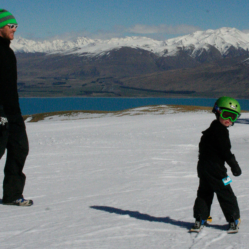
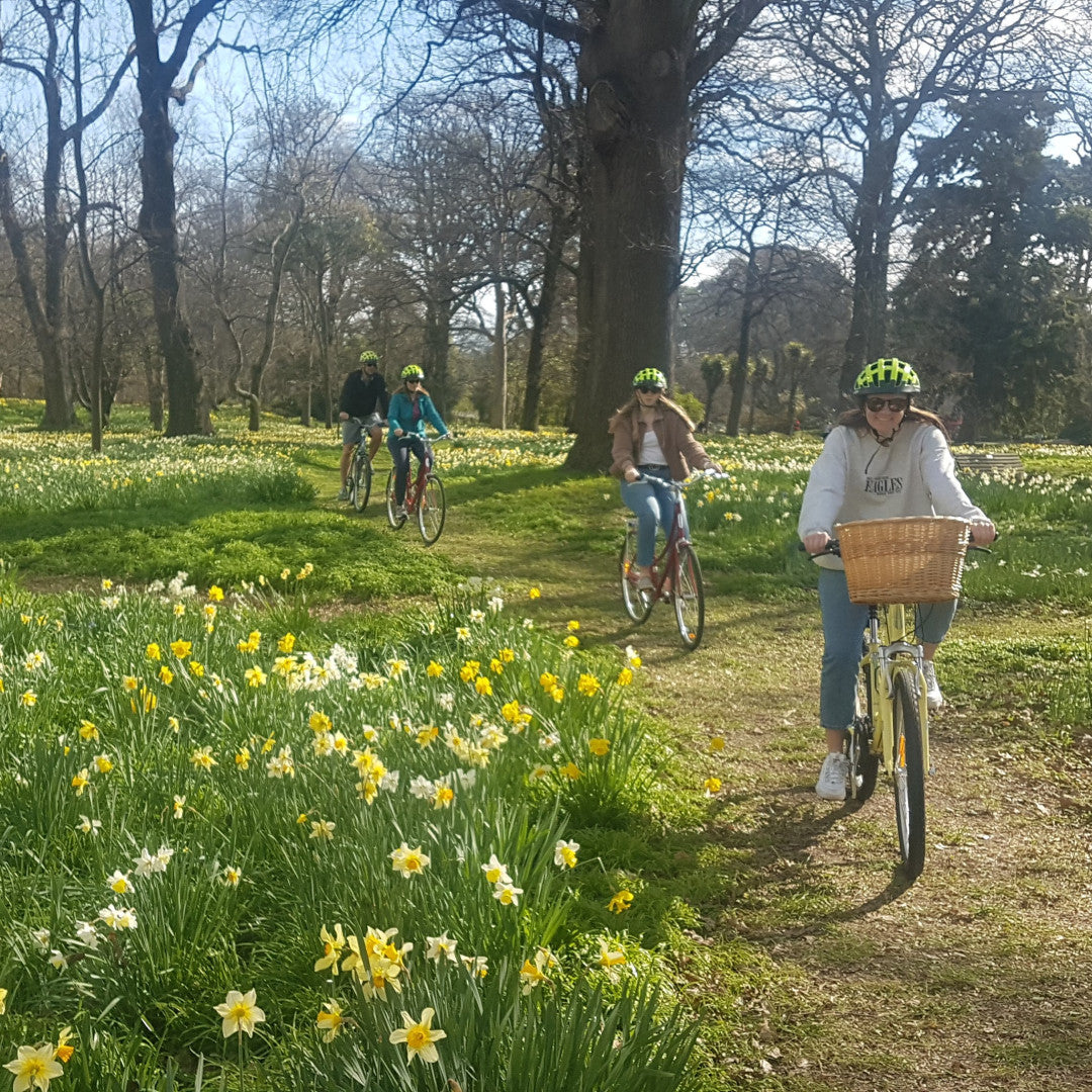
At 137km, Colin had planned it as eight one day walks. Two days on a bike suited me, though it can take as long as you want – a long midsummer day for the fit, or eight short days over winter perhaps. I took one day for the 34km Port Hills stretch and a day for the rest on the flat. The cycling is very cruisy - rarely in traffic and with just a few walkers for company along the way.
The best bike to use? The one you already have. I rode a Surly Ogre with 29-inch wheels and no suspension. The trail is never far from shops, toilets or drinking water so you can travel really light. There’s plenty to see along the way, with many different plant habitats and plenty of opportunities to spot the numerous bird species which live and migrate through the city.
Navigation was a breeze. The 360 markers are carefully positioned at every junction and once I got used to spotting them, I never went wrong. GPS files are available but directions from the website were all I needed, and there’s a 360 brochure available from Chill, in the central city.
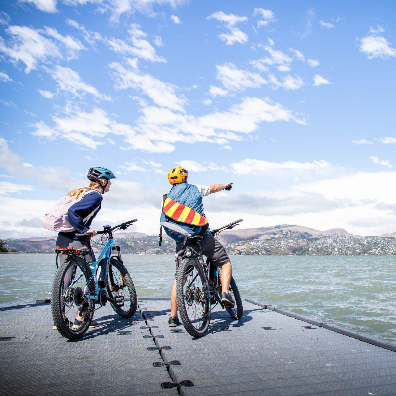
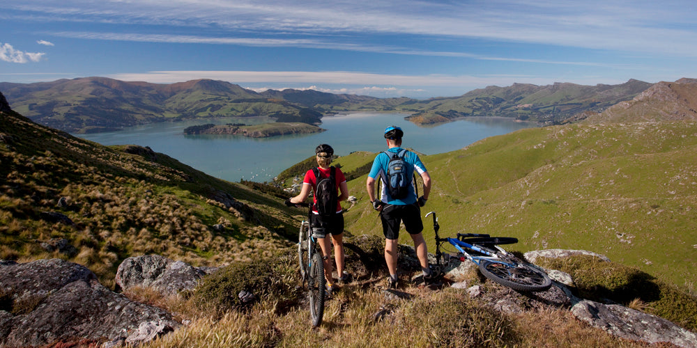
The Port Hills
Starting at Halswell Quarry Park, I biked to Kennedys Bush Track, the Summit Road, then to the Sign of the Kiwi. Crossing Dyers Pass, I followed the road (closed to cars since the earthquakes) to the Bridle Path saddle for views over the city; to the Alps on one side, to Mt Herbert and Lyttleton Harbour on the other. From here, the highest point, I could see the whole 360 in one panorama.
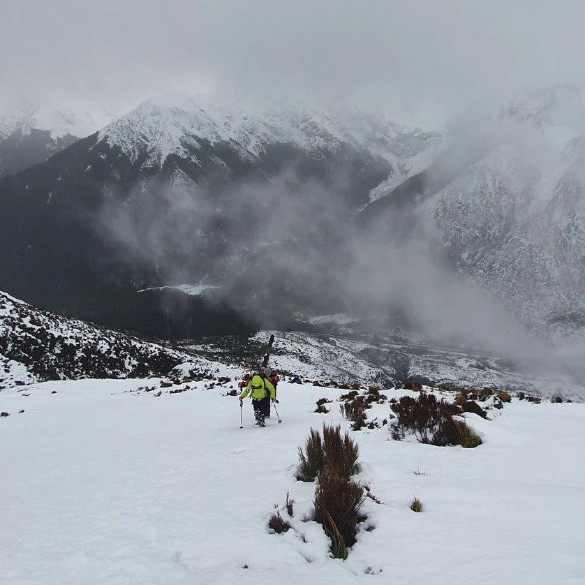
The Port Hills has mixed-use cycling and walking routes, including the Crater Rim Walkway, the Bridle Path to Lyttelton and many others. Depending on your biking skills you can either take the road, or some MTB tracks (not the walkers-only tracks) all the way over Evan’s Pass, to the Godley Head car park. While the trail is fast, it’s worth lifting your head to enjoy the views over the Pacific to the Kaikoura Ranges in the distance.
From here I took the Anaconda MTB track down to Taylors Mistake beach, though you could take the sealed road at Evans Pass. At the bottom of Scarborough Park, at the end of Esplanade, is the perfect spot for a coffee to celebrate the end of the hills, or even to have a quick dip in the sea.

Estuaries, forests, dunes, wetlands & braided rivers
The Christchurch Coastal Pathway goes along the beach, past Shag Pile (formerly Shag Rock before the earthquakes), to the Avon Heathcote Estuary and Moncks Bay, before the causeway to Ferrymead Bridge and a towpath track. After a few streets, it enters Charlesworth Reserve to get closer to the salt marsh, finally getting to Linwood Drain and in turn, Bayswater Reserve, Seascape Gardens, and Bromley Old School Reserve. I passed Nga Hau E Wha Marae, then Shortland Street and entered another park before heading down Anzac Drive to the ecologically significant Bexley Wetlands.
Following the Avon River upstream, I emerged into the surreal landscape of the Burwood Red Zone; its lampposts, telephone switch-boxes and dead ends marking the homes of a community only too recently moved on by seismic events.
Wanting to learn more about the ecologically significant Bexley Wetlands, I popped into the Travis Wetland Information Centre. Next, Bottle Lake Forest - a MTB destination in its own right, with plenty of options through the forest and sand dunes, to the Southern Pegasus Bay Track with its crashing ocean breakers.
I rode on to Spencer Park, Seafield Park and the Adrenaline Forest (where you can expend non-cycling energy climbing cabled routes in the canopy), and out towards the lagoon on a mostly sandy path. After some slow going I reached Brooklands’ red-zoned subdivision with its empty sections, before continuing up the Styx River’s stopbank to the Waimakariri River.
This is a long 18km stretch on gravel tracks, with the trail switching between the river and the trees to keep interest levels up. At Haul Road the track goes behind shingle works and developments to replace flood protection measures. It may be possible to find a way through to McLeans Island and its multiple biking tracks, I wasn’t able to, so I simply took the main road to McLeans Grasslands Park, where Christchurch City Council has provided legal access through these ecologically important grasslands.
Urban ecology
From here, the route meanders around the airport on quiet roads, until the tricky crossing of Russley Road took me to Avonhead Park, to a most welcome dairy and chip shop. Though hardly dramatic, this is the start of one of the tributaries of the Avon… From these ‘headwaters’, it’s a pleasant ride through suburbia via Karnak Reserve, Crosbie Park, Corfe Reserve and academia’s leafy lanes at the University of Canterbury, where markers were sparse. The path goes past the predator-proof fence and double-interlocked door system that forms the pest-free defenses of historical Riccarton House. Here, even streets have a native tree theme: Totara Street, Rimu Street, Rata Street, Kauri Street.
After crossing Riccarton and Blenheim Roads, there were planted detention ponds - part of an environmentally-friendly stormwater management system. Continuing down to Marylands Reserve, the cycleway dips neatly under the Southern Motorway, through Mokihi Gardens then Jamiesons Bush, before following the Heathcote River upstream to Canterbury Park.
By now the river was no more than a swale as I slipped towards Nash Reserve. After some turns, the Trail loops around Westlake pond before arriving back at Halswell Quarry. By which time, I was wondering why doesn’t every city have its own 360 to unlock the magic of the small parks and reserves in their backyard?
Suggested Start/Finish: Halswell Quay
Distance: 137 km
Elevation Up/Down: 450 m
Difficulty: Intermediate
Duration: 1-3 Days
Photo Credit: christchurchnz.com